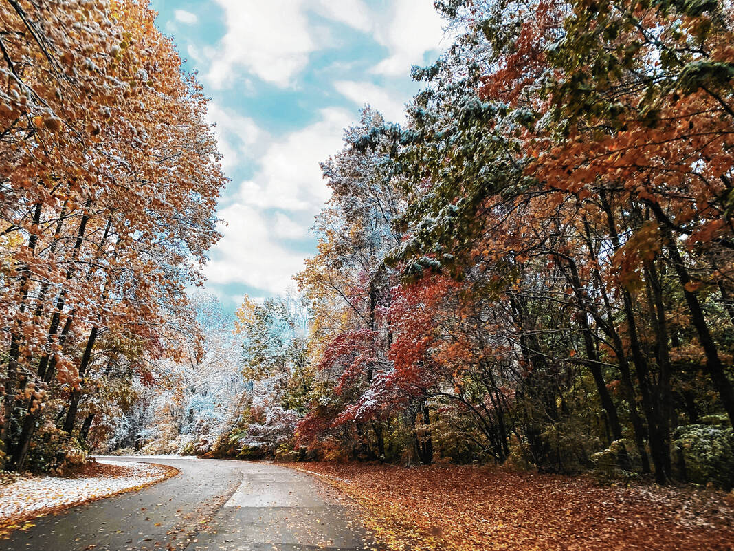
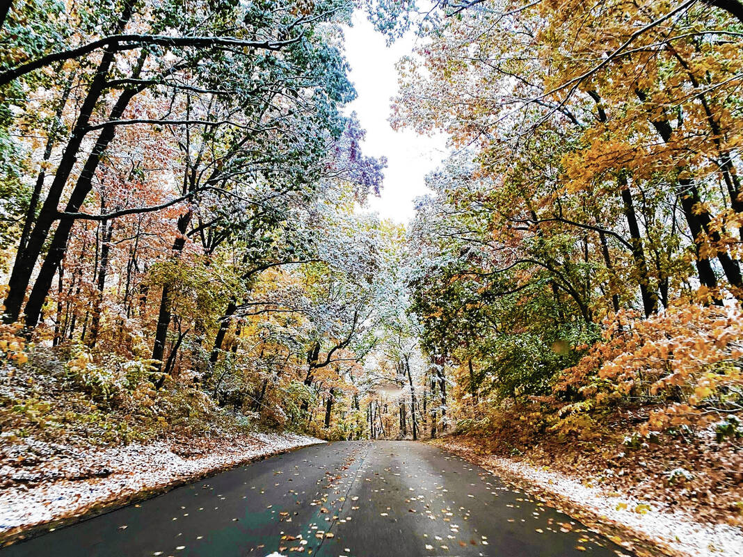
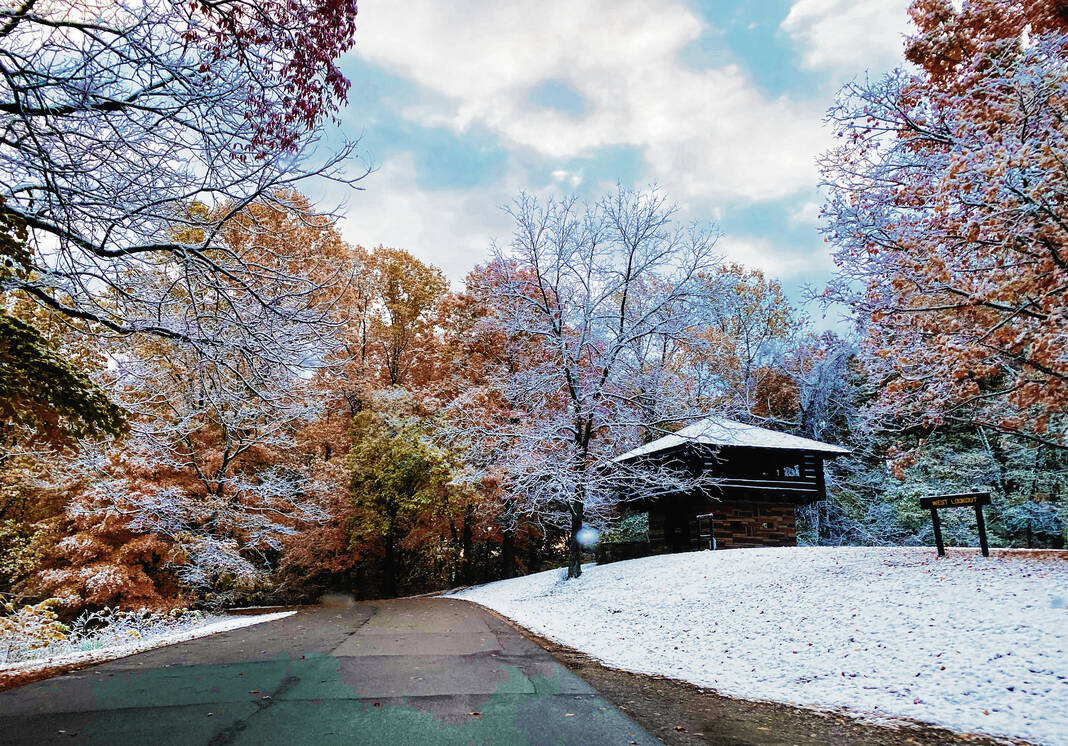
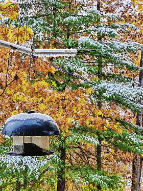
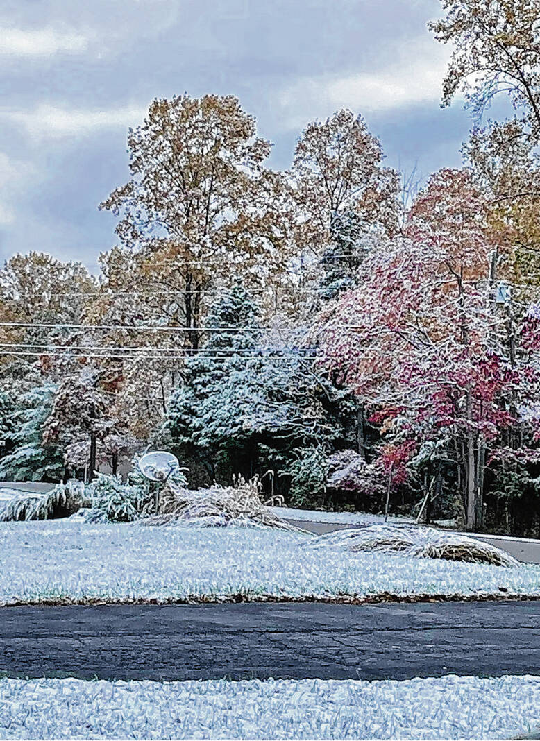
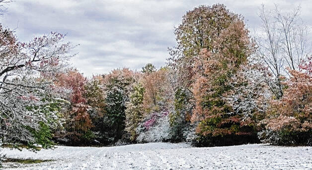
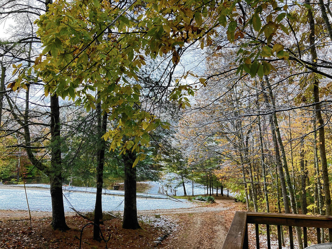
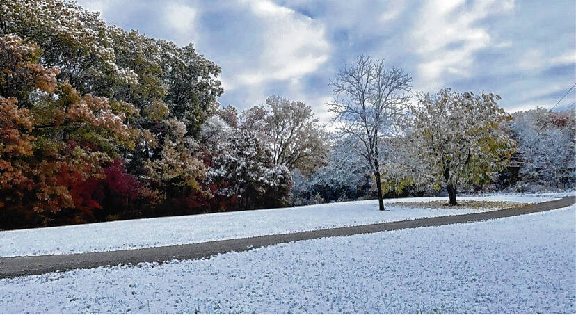
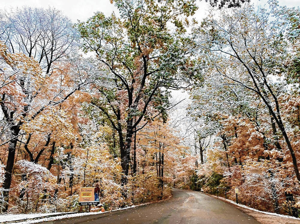
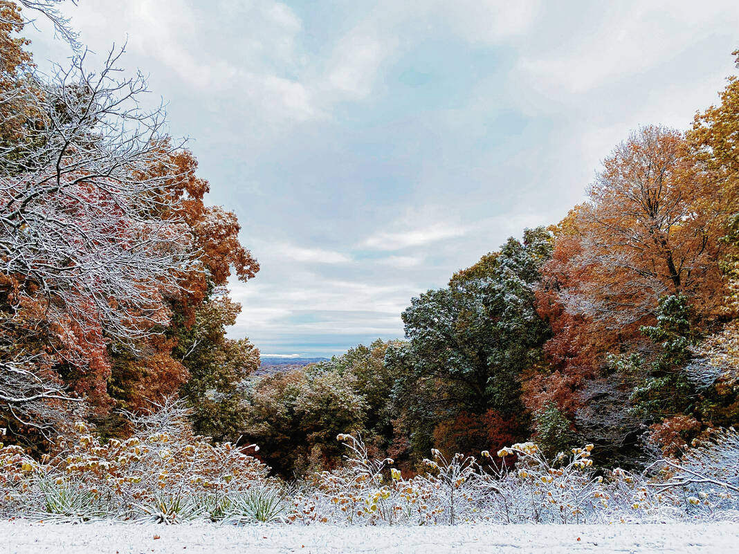
Brown County residents woke to a surprise the morning of Oct. 18, looking out windows to find a light layer of snow resting on near-peak fall foliage.
Snowfall occurred in the early hours of Oct. 18, and was one of the earliest recorded in the state.
According to the National Weather Service (NWS) in Indianapolis, the earliest measurable snow on record was recorded Oct. 19, 1989.
This early in the season the ground is still warm and it did not take long for the snow to melt, according to the NWS, making it unable to measure in areas of the state.
The wintery scene this year is attributed to lake-effect snow.
The NWS definition of lake effect snow is “snow that occurs when cold air, often originating from Canada, moves across the open waters of the Great Lakes.”
The cold air passes over the warmer, unfrozen waters of the Great Lakes. The warmth and moisture are transferred into the atmosphere, the warm air rises, and clouds form and grow into narrow bands that can produce heavy snowfall very quickly. Wind direction is key when it comes to determining where the snow will fall.
Residents around the county captured images of the fall and winter mix and shared them with the Democrat.

